


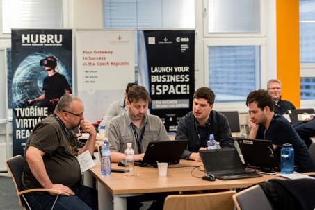
On January 23 and 24, 2018, the Prague INSPIRE Hack 2018 took place in the premises of the Faculty of Business Economics of the Czech University of Life Sciences in Prague, focusing on the use of open data and open tools in practice, in which 11 teams from all over Europe participated.
The evaluation of the projects was ensured by a Jury composed of Marie-Françoise Voidrot (Open Geospatial Consortium), Martin Pelikán (Faculty of Operations Economics, CZU in Prague) and Ondřej Šváb (Ministry of Transport of the Czech Republic).
The winner of the Prague INSPIRE Hackathon was the team that worked on the topic of Big Data for Fishery. The main goal of the developed application was to provide an easy-to-use web map based on the HS Layers NG technology, which will help, for example, ship operators in their decision-making. The map combined fisheries data, ground observations and meteorological data and weather forecasts. The resulting application combined various layers such as satellite data, wind speed and direction, sea temperature, chlorophyll, turbidity, etc. and provided information and visualizations on the location of tuna species, ship routing and alternative routes with attributes of estimated fuel consumption and risk, situations in real time, forecasts, etc.

Second place was awarded for the topic Extension and Enrichment of SPOI Knowledge Base. The goal of the resulting application was to improve the SPOI data set, both by expanding and improving the basic model (ontology) and by enriching the knowledge base with links to other relevant data sets. Among other things, the application included mapping to other dictionaries to the current taxonomy of classes and other terms for annotation or evaluation. Third place was awarded to an application on the topic Delimiting of Agro-Climatic Zones. In this case, it was a solution to the lack of current climate zone maps, as these maps show large areas and show certain differences in topography. Marine buffer zones, weather distribution and differences between south and north are not shown in them. The aim was therefore to provide local agro-climatic maps by processing detailed EO data.
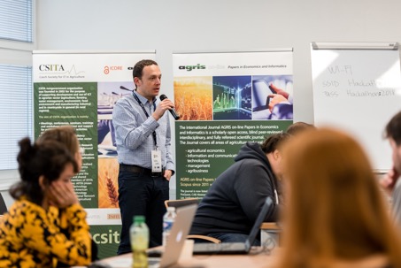
The event was sponsored Plan4all concerned with preserving open data, making it available for reuse and improving its quality. Other organizers of the hackathon were ESA BIC Prague, Department of Information Technologies of the Czech University of Life Sciences in Prague and CSITA (Czech Society for Information Technology in Agriculture).